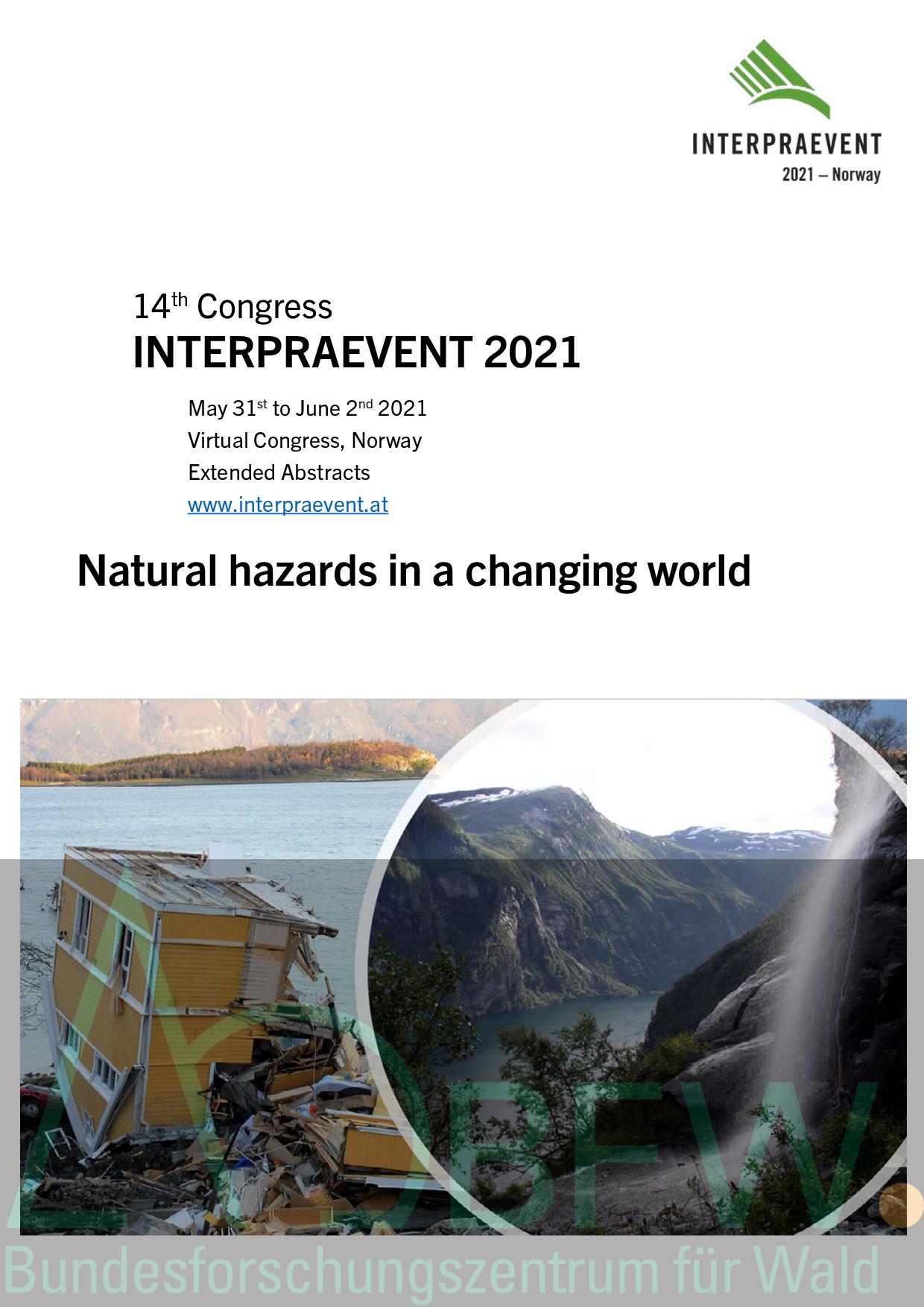
Interpraevent is considered to be “the expert network for the protection from natural hazards”. Within this frame we aim to attract experts from science, engineering and administration. Therefore, the call for papers for the 14th Interpraevent congress – entitled “Natural hazards in a changing world” – was spread out to this community of experts. We asked for written contributions to assess the state of the art and knowledge in natural hazards prevention. To cover the entire risk circle the call comprised four main topics: Risk Governance and Policy; Data Acquisition and Modelling; Hazard and Risk Assessment; Hazard and Risk Mitigation (land use planning, technical measures, nature based solutions, organizational measures). For the first time we offered authors the chance to submit extended abstracts or papers in English language. After acceptance, it was possible to be invited for an oral presentation based on both types of submission. With this decision, we thought to be more attractive for authors working in practical fields. All other authors, not selected for an oral presentation, had the chance to present a poster. Following the call, we received 185 extended abstracts and 55 papers submitted by authors from 21 different nations. The highest number of extended abstracts came from Austria (51), followed by Norway (45), Japan (25) and Switzerland (20). The highest number of papers came from Switzerland (15), followed by Norway and Austria (both 9), Italy and Japan (both 5). Nearly 40% of the contributions were submitted within the topic “Hazard and Risk Assessment”, covering all natural hazards processes. The predominant part of contributions can be connected to prevention. About half of the authors are scientists. Nevertheless, the amount of practitioners working in administration or as consultants is still that high, that Interpraevent reaches its own goal to bring research and praxis together. Even Interpraevent was affected by the international COVID-19 crisis. The congress scheduled for May 2020 had to be cancelled and it was considered to shift the congress with physical attendance to 2021. Due to health safety reasons the decision was taken, to organize a virtual congress. With that, we wanted to assure that not all the work would be for nothing and that at least 43 papers and 115 extended abstracts could finally be published.
We are aware of the hard work of preparing and writing papers. However, after the submission, the editors’ job (selecting and convincing potential reviewers) and the reviewers’ job (critically reading submissions and giving feedback to authors) had to be done. Finally, the accepted submissions had to go through a layout process until authors gave their permission for the final publication. Therefore, we are grateful to all authors, editors, reviewers and the Norwegian layout team for their valuable efforts to make Interpraevent to what it is: “the expert network for the protection from natural hazards”. The Natural Hazards Forum in Norway – cooperation across sectors ; on the benefit-cost-ratio of mitigation measures ; Nature-based solutions to reduce hydro-meteorological risk in rural mountain areas ; Effectiveness of warning and evacuation measures for preventing sediment-related disasters ; Contingency planning - A national guideline ; Coping and cooperation: flood-response in a federal political system – examples from Switzerland ; Integrated Water Management in Austria - The River Development and Risk Management Concept ; New ways of risk management in Bavaria – comprehensive approaches and communication ; Planned Relocation in Natural Hazard Management - The Case of Austria ; Regional economy effects of disaster risk reduction investments ; Establishing Guidelines for Landslide and Avalanche Hazard Mapping in Norway ; Small country, big challenges – Switzerland’s hazard prevention ; Flood protection at the Tyrolean Inn River – Communication strategies for handling diverging technical and financial interests ; Mainstreaming climate change adaptation and disaster risk reduction – Key findings of case studies in the Alpine macro-region ; Implications of different pluvial flood models for comprehensive flood risk management in Austria ; DATA ACQUISITION AND MODELLING (DAM) Mitigating flood risk through sharing information online at Flomhendelser.no ; protective effects against natural hazards ; The importance of systematic regional landslide characterization to improve landslide warning and hazard mapping ; 3D numerical simulation of the Lituya Bay 1958 tsunami event utilizing the CFD software Flow 3D. ; Unraveling the groundwater behavior in landslide mass during heavy rain by multi-layer ground temperature monitoring ; Development of a real-time flood forecasting system for medium sized alpine catchments ; Interaction of fluviatile hazard processes and buildings at a debris cone – modelling demand, related challenges and consequences for impact assessment ; Groundwater flow in a complex rock-slope failure area, Stampa, Western Norway ; Physical model tests of erosion protection on the side slope of steep rivers ; Effect of differences in the amount of tephra-fall on discharge from a hillslope in the Arimura River basin, Sakurajima, Japan: Comparison between 2012 and 2017–2018 ; Uncrewed aerial systems photogrammetry to spatially monitor slope deformations ; Continuous debris flow monitoring and detection using load cells in Sakura-jima Island ; Application of new, area-wide hydrologic data in precipitation / runoff modelling of torrent atchments; Determination of flow resistance coefficients in regulated torrent channels with flow velocity measurements ; Analysing the impacts of extreme precipitation events on geomorphic systems in torrential catchments – a comparative study from Upper Styria, Austria ; Usage of large-scale hydrological information for runoff estimation in ungauged catchments ; Extended surface runoff coefficient map East Tyrol ; Effects of forest cover on water balance in protective forests ; Long-term sediment runoff by bedload and washload measurements ; Suspended sediment runoff and sources from mountain to sea during flood events associated with four typhoons in northern Japan ; Estimation of suspended sediment budgets in alpine rivers ; Landslide Propagation Modelling for Hazard Assessment ; Comparing different approaches for debris flow velocity estimation at the Lattenbach and Gadria catchment ; Monitoring and forecasting the Veslemannen rock slide ; Examples on Practical Use of Drone Technology in Flood- and Avalanche Hazard Management ; Back-calculation of the Mjåland debris flow in 2016 and importance of post-event field surveys ; Life cycle assessment (LCA) modelling of alpine natural hazards protection structures ; Data accumulation of sediment transport and hydrology in mountainous rivers ; Integrated simulation on multiple shallow landslide and debris-flow employing contour-based terrain modelling in watershed-scale ; The new Swiss joint information platform for natural hazards (GIN) ; Indicators and expert evaluation in the identification of flood hazard management priorities ; A web-based tool for exploring the effects of key flood risk drivers on the overall future flood damage evolution in Switzerland ; WoWW - World of Wild Waters - creating immersive understanding of cause and consequence ; The online map services for unstable rock slopes and related hazard zones in Norway ; Thermokarsts on an ice-rich rock glacier in Tignes, French Alps ; A regional-scale risk assessment framework for flood, debris flood and debris flow geohazards in British Columbia, Canada ; Destabilization of high mountain infrastructure built on permafrost in the French alps: Lessons from the past and future challenges ; Risk assessment of buildings exposed to rock falls and snow avalanches ; Characteristics of Debris Flow and Driftwoods Transport during the July 2017 Northern Kyushu Heavy Rainfall, Japan ; Effects of forest management on avalanche hazard in Jølster/Western Norway ; Effects of a changing climate on hazard zonation for landslides and avalanches ; Conceptual model for quantification of snow avalanche return periods ; Supercritical flow over fluvial and non-fluvial sediments as underestimated hazard in terms of extraordinary floodings ; Towards an "Industry standard" for hazards mapping in Norway: Challenges faced ; Emergency response planning along the River Thaya - dealing with pluvial and fluvial floods ; A simple method to estimate debris-flow hydrographs for hazard assessment ; Method for probability assessment of slope failure on hillsides using LiDAR data ; NAKSIN - A new methodology for avalanche hazard indication maps in Norway ; Projected Climate Change Effects on Shallow Landslides, North Shore Mountains, Vancouver, Canada ; Hydro-meteorological trigger conditions of torrential flows in the Austrian Alps ; Mapping the risk of large rock avalanches in Greenland ; A comparative study of two rock glacier front slope failures (South Tyrol, Eastern Italian Alps) ; EVOFOND: a simple 1D model for the simulation of erosion and deposition processes caused by torrent extreme floods ; Probabilistic avalanche runout analysis ; Landslide risk mapping in Sweden, in a changing climate ; Project ALBINA: A consistent and multilingual cross-border avalanche forecasting system ; Development of Environmental and Disaster Risk Information System (EDRIS; Economic valuation of ecosystem-based rockfall risk reduction considering disturbances and comparison to structural measures ; Run-up observations based on multiple debris-flow surges ; Enhancing rockfall hazard assessment by linking cliffs to exposed infrastructuresreached by 3D simulated rockfalls ; Japanese approaches of early-warning for sediment disasters using rainfall indices with radar observation ; Rock avalanches in Norway - first complete hazard map in the county of Møre & Romsdal ; A guideline for physical vulnerability assessment of buildings exposed to dynamic flooding ; Extreme events and aging of defence works challenge the definition of residual scenarios for debris-flow hazard assessment: the case of the Rotiano Creek (Province of Trento, Italy) ; Weather-related hazard analyzes along the Austrian railway lines considering climate change effects ; Hazard assessment of pluvial flooding in urban areas under consideration of fluvial influences ; Rockfall Experiments in Forests: Influence of Rock-Shape and Deadwood ; The necessity of process scenarios in hazard maps for rivers in alpine basins ; Constructing a landslide database from global coverage satellite archives ; EXAR – extreme floods in the Aare River (Nicolas Steeb er påmeldt) ; Classification of the tsunami potential in perialpine lakes, based on simple parameters ; What is the potential for earthquake-triggered landsides in Norway? ; Debris Flow Torrent Smart Patrol based on Augmented Reality and Smartphone ; Estimation of extremely rare floods in a large river basin from continuous hydrometeorological simulations ; Influence of saline water ascending from deep reservoir into the large-scale landslide: An example of Kamazuka-Dangosashi landslide, Japan ; Sediment Yield Characteristics in Central Asia by Satellite Image: Kyrgyzstan Case Study of Sediment Control Using Japanese Method ; Integration of natural hazards in the Swiss Standard "Actions on Structures" ; Breathing Check Dam Management in a High-Sediment-Disaster Torrent ; Recent advances on debris flow early warning and risk managementin Alto Adige / South Tyrol, Italy ; Investigation and analysis of the recently discovered sabo facilities builtin Tateyama Caldera 100 years ago ; Mitigation measure manual ; Surveying masonry check dams in the Souzu River damaged by the July 2018 heavy rainfall ; Development of a digital device for monitoring and predictive maintenance of flexible steel protection systems against natural hazards ; Integrated heavy rain risk management in the European context ; Proposal for Prior Learning to Support The Effective Improvement of Disaster Prevention Drill for Sediment Disaster ; A consistent definition of site and object protection forests, and their protective effects (Michaela Teich er påmeldt) ; Monitoring dedicated to the set up of an alert system for landslide triggered debris flows: the Valloire case study (Savoie, France) ; Automatic Deformation Analysis with Cloud Processing of High-Resolution Images with Examples of Veslemannen (Norway) and Trift Glacier (Switzerland) ; Long-term Monitoring in Bondo: over two Years of Permanent Radar Measurements at Piz Cengalo and seven Years with Debris Flow Alarm System ; Dual avalanche radar system for large-scale avalanche detection with automatic road closure and reopening functionality for an avalanche-prone access road in Northern Norway ; Åknes drainage project; a study of drainage as mitigation for the Åknes large landslide ; Improving both flood control and ecological status? Eco-friendly flood control methods and how to apply them in post-glacial rivers ; Mitigation measures in the Krvavec ski-resort area (N Slovenia, Europe) against debris floods and debris flows (Nejc Bezak er påmeldt) ; Reducing the risk from climate induced hazards to buildings and infrastructure; KLIMA 2050 - A centre for research-based innovation ; Snowcatcher - Two winters of interaction between occurring avalanches and a flexible interception structure ; Large-scale hydro-geological characterization of flow systems in an alpine region (Northern Tyrol, Austria) ; A national university course on geohazards in Norway ; Event-based flood management: Best practice example of a cooperation between the local government and the power plant operator of a power plant chain at the Drau River, Austria ; Approach for maintenance management of Sabo facilities that passed many years after completion ; Added value of soil moisture measurements for landslide early warning